Trail: Shrine Ridge Trail
Length: 4.0
Elevation Gain: 961 Feet
Highest Point: 11,873′ High
Where: White River National Forrest, outside Vail
Closest Town: Vail
Directions: I-70 West to Vail exit 190 Shrine Pass Road
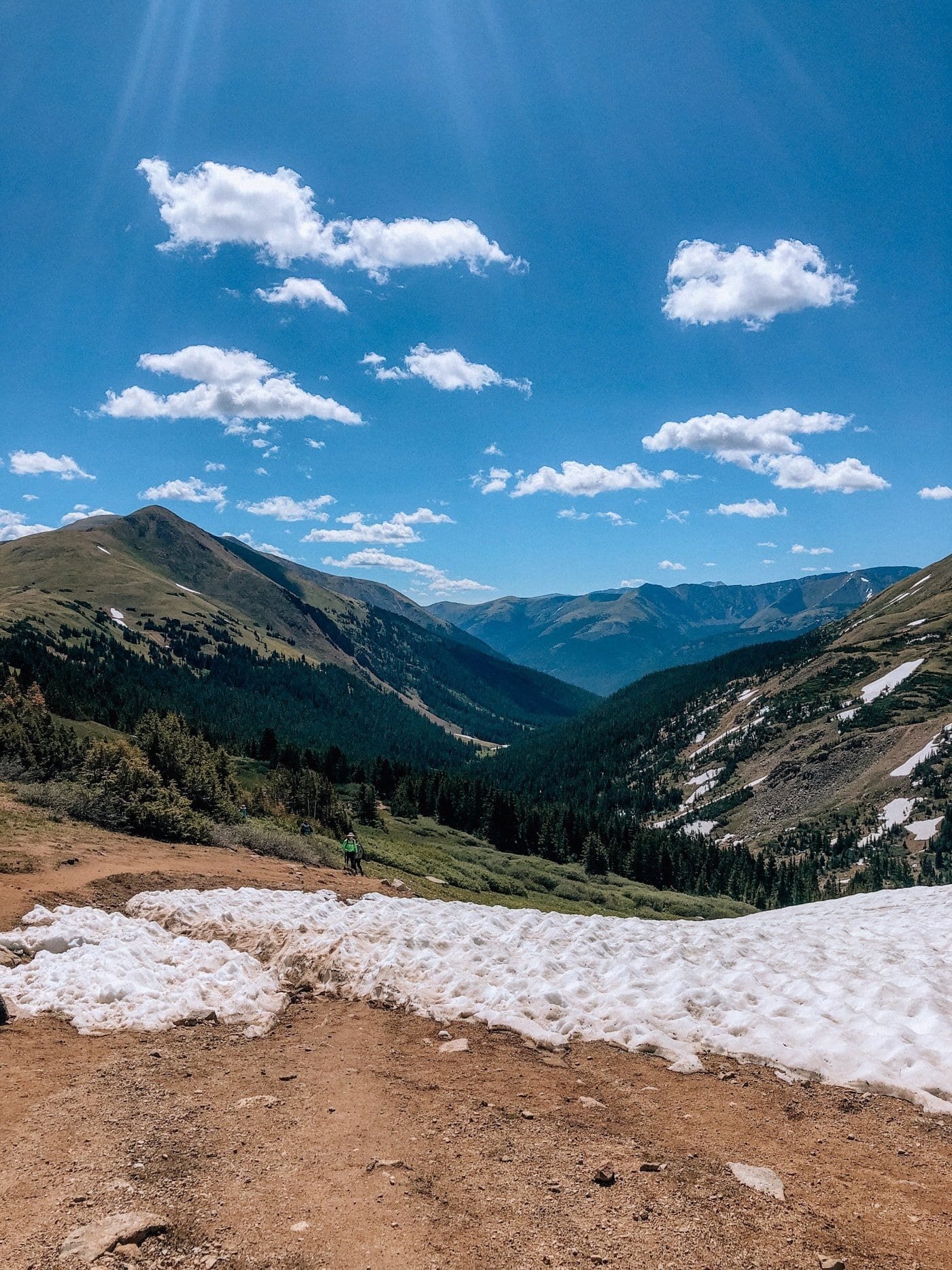
Last Summer, we were on the hunt for a hike with big views and wildflowers but was also easy enough for Clay’s entire family to do. Shriner Ridge hit the mark. This beautiful hike outside of Vail is a steady incline till you reach the top of shine pass giving you incredible 360 views and a stunning view of the Mount Holy Cross.
If you’re in the Vail area this is the perfect hike to do. Read my full guide to Vail here.
Read and learn more about the hike on All Trails and Hiking Project.


