

Trail: Kroenke Lake
Length: ~ 9 miles RT
Elevation Gain: 1,673
Highest Point:
Where: Collegiate Peaks Wilderness
Closest Town: Buena Vista
Directions: To “North Cottonwood Creek Trailhead” North out of BV US 24, Left on Crossman Ave (CO 350) left on CO 361 that dead-ends into the 365 go left and follow the road to the trailhead.
Trail Info:AllTrails, Hiking Project
Truth be told, while I have to spend a lot of time in Beuna Vsita I haven’t hiked much in the area. I knew I wanted to do a longer hike and I typically choose to hike to lakes so this one looked beautiful, and it was!

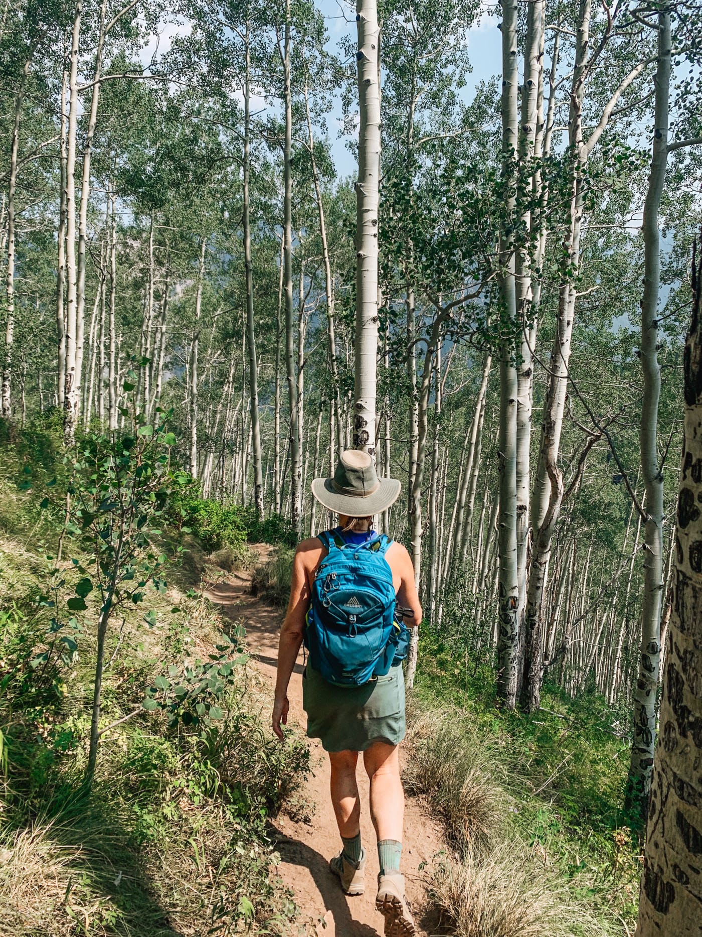
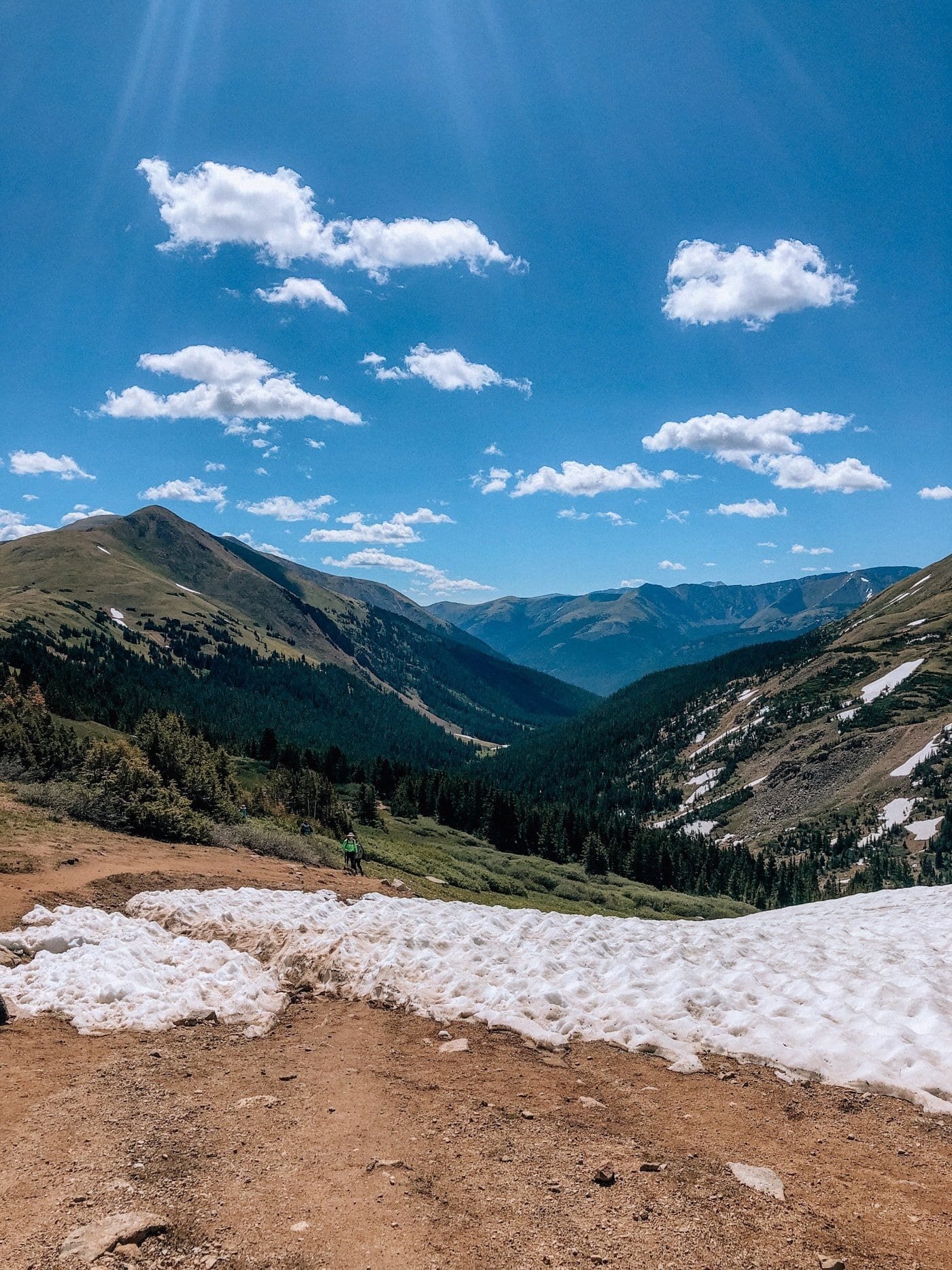
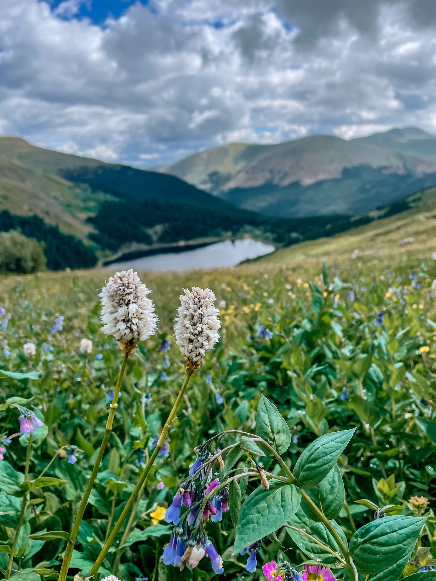
Kroenke Lake Trail
This 9-mile hike is almost completely in shade and crisis crosses a river until you reach the top and boom! The trail opens up to a beautiful lake just shy of the Continental Divide. Kroenke Lake is a popular backpacking spot and I can see why the trail is about 9 miles round trip and 1800 feet in elevation but its a very gradual climb with literally zero steep parts. We will 100% be coming back here for a backpacking trip.

Jake b-lined to the lake as soon as we got there and loved cooling off in the water. There were a number of people fly fishing so I am gonna guess it’s pretty good for that too. I read that the trail continues up to the Continental Divide but we were tired, ready for a beer and Clay really didn’t want to hike with Sophie in his bag much longer lol.
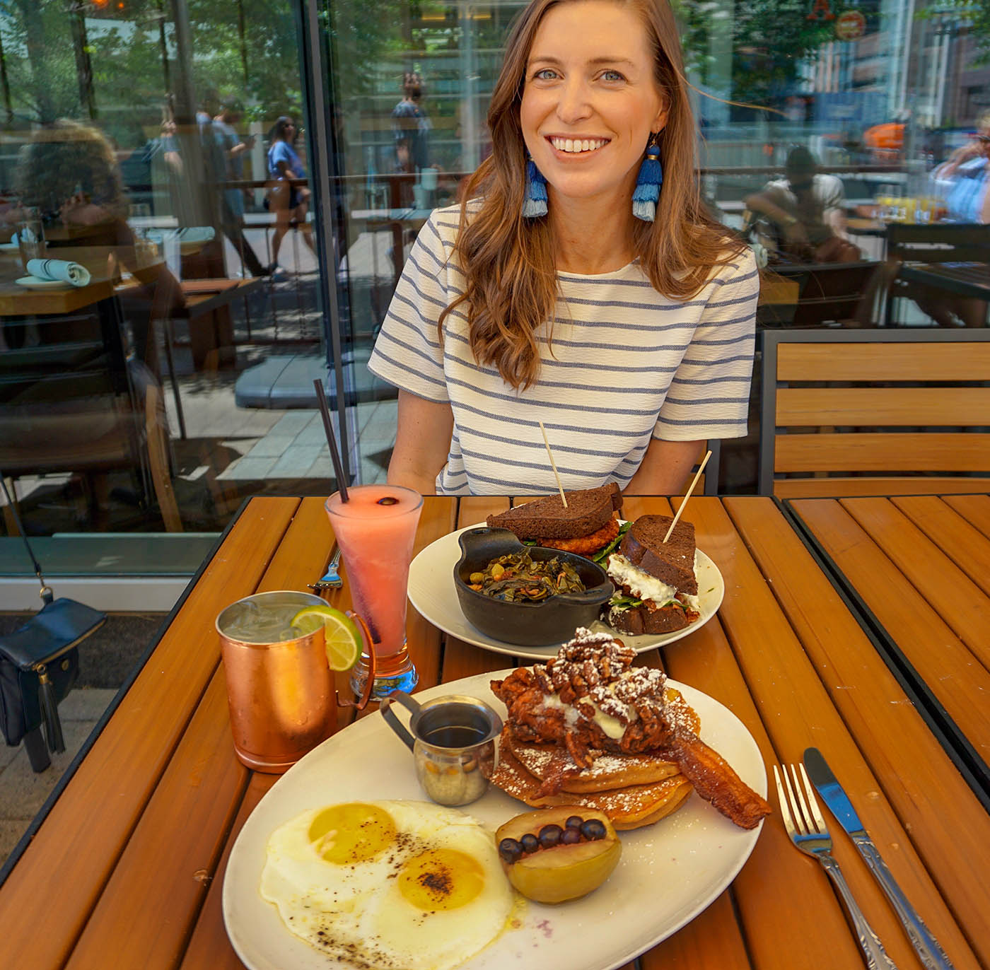
After the hike, we grabbed insanely good burgers and patty melts from The Beuna King in BV. They have a large patio with plenty of seating and are connected to the Deerhammer Distillery we scooted up to Twin Lakes to take a polar plunge and enjoy the afternoon sun.


Things To Know For The Perfect Hike to Kroenke Lake
- The trailhead is also the trailhead for hiking 14ers Mt. Harvard & Mt. Columbia it gets super crowded. We passed a friend on the trail who said they counted 70 cars!
- It took us about 3 hours up, hung out for an hour and 2 hours down. I would suggest packing a lunch and enjoying it at the lake. We were huffing it down to get some food in BV after.
- The bugs were not bad when we were there but always a good idea to bring some spray or a wrist band
- The trail was not super crowded for a Saturday when we started around 9:30, although as we were coming down around 1 pm it was getting steadily more crowded. The large majority of hikers we passed were backpackers as well.
- The road to the hike is bumpy, so make sure you’re in a car with enough clearance, we saw lots of Subaru and trucks in the lot. From BV it’s about ~30 mins to the trailhead
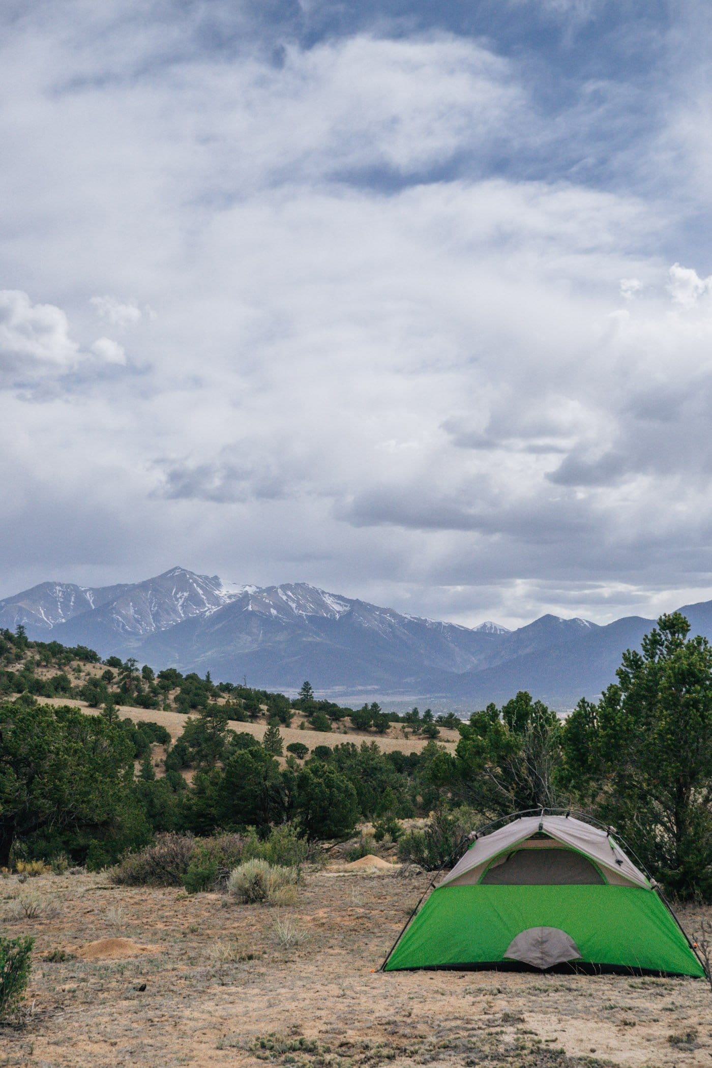
- Camping – There was a lot of dispersed camping along route 365 on the way to the trailhead. Read about more camping info in this BV post.
- “Pin” the hike on Hiking Project to track your progress along the trail, even when you are out of service
For more info read my Buena Vist and Twin Lakes Guide


Leave a Reply